Ever since I learned that the Ponca tribe finished the Chief Standing Bear trail from the Kansas border to Beatrice last year I’ve been wanting to check it out. I didn’t have time to go past Beatrice on the Homestead this past weekend, but I thought I would at least ride down and see where the CSB trail connects with it.

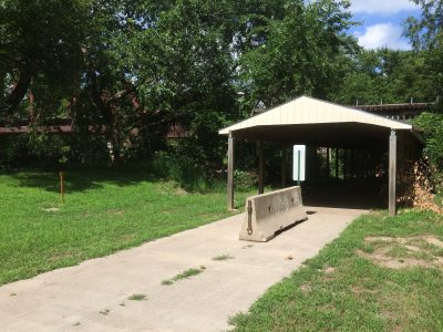
Any of you who have tried this know what’s coming. It seems the trails don’t actually connect yet. A grant has been secured to fund it, but there is not currently any connection, much less trail head or even a sign to direct you to the CSB trail. The very helpful staffer at the city museum and information office, which happens to be at the Homestead trail head, tried to find out for me, but without luck. She said that much of the undeveloped rail bed link, currently abandoned industrial land, belonged to John McConaughy, an early settler of Beatrice who described the beauty of the area in his journals, and that she’s hoping that they will restore it as a natural area with the trail passing through it.

She sent me on the paved city trail a few blocks to the west to try to connect up with where she thought it should be, but that just put me along the Big Blue river into Chautauqua park. I did eventually find the city trail heading toward where the CSB should have been and seeing a group of cyclists I thought I had found it, but it ended at the swimming pool. Again I asked for directions, but was directed to a different area in the opposite direction, with no trail. Apparently one can take the rough rail bed from the end of the Homestead to the sort-of beginning of the CSB, but I didn’t think it would be passable. I would have saved some time just doing that, and certainly saved more time had I just gone to the Trail Link page beforehand. Actually, the helpful staffer at the YMCA did look there, but didn’t find the right page. http://www.traillink.com/trail-reviews/chief-standing-bear-trail.aspx
One reviewer observed: “As of 3/13/2016, the Standing Bear Trail does NOT connect to the Homestead Trail. We parked at the trailhead at 2nd and Court in Beatrice, got on the Homestead trail and headed south. The trail ended in about 1/2 block. After conferring with locals, we continued on the undeveloped right of way and did find a trail after a few blocks. At this point, the trail is graded, but not surfaced; i.e., it’s still dirt and railroad ballast–very rough. We arrived at the newly completed sections of the trail after about 4 miles. These 4 miles are not included in the description, so the total length of the trail is actually 23.5 miles, not the 19.5 miles listed in the description.” By pagrewe in March, 2016
And this could have been me: “I was pleased to read the review of “the trail does not connect in Beatrice.” I have searched for this trailhead in Beatrice two times and thought how dumb am I, I can’t find the connection. I too found the Homestead Trail ended at the museum. I cycled here and there and couldn’t find the trail. It would be nice to have a sign showing the way to the new trail or at least directions to other trailheads from highway 136. I am sure it is an awesome trail if I can just find it! I have cycled from the Marysville end to the NE border and it is lovely.” By crowgallops in April, 2016

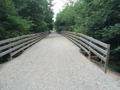
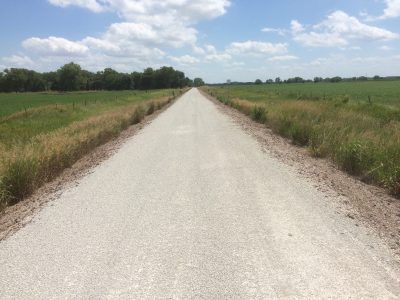
So the link in question belongs to the city of Beatrice and we’re waiting for them to use the grant to develop it. The last three miles or so of limestone coming into Beatrice on the Homestead were exceptionally good miles of trail, packed and rolled to perfection. If this is any indication of how the new segment will be, it will be worth the wait.
