Lincolnites are about to get a bike boulevard. On a six block section of F street, bounded by Salt Creek and sixth street, the South Salt Creek neighborhood is about to be a trendsetter.
Bicycle boulevards, also known as neighborhood greenway streets, are a low cost, easily implemented way to encourage bicycling on low-traffic city streets.
The National Association of City Transportation Officials (NACTO) definition:
Bicycle boulevards are streets with low motorized traffic volumes and speeds, designated and designed to give bicycle travel priority. Bicycle Boulevards use signs, pavement markings, and speed and volume management measures to discourage through trips by motor vehicles and create safe, convenient bicycle crossings of busy arterial streets.
No arterials will be crossed in this case, though if it could get cyclists easily across Ninth and Tenth Streets that would be a wonderful thing.
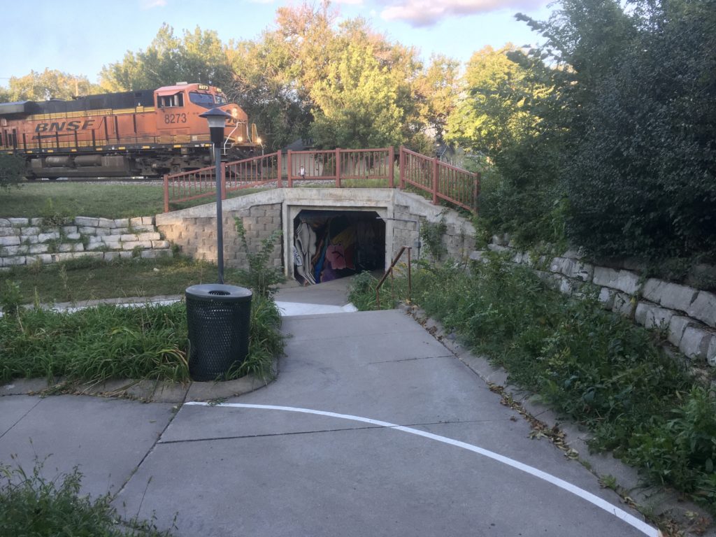
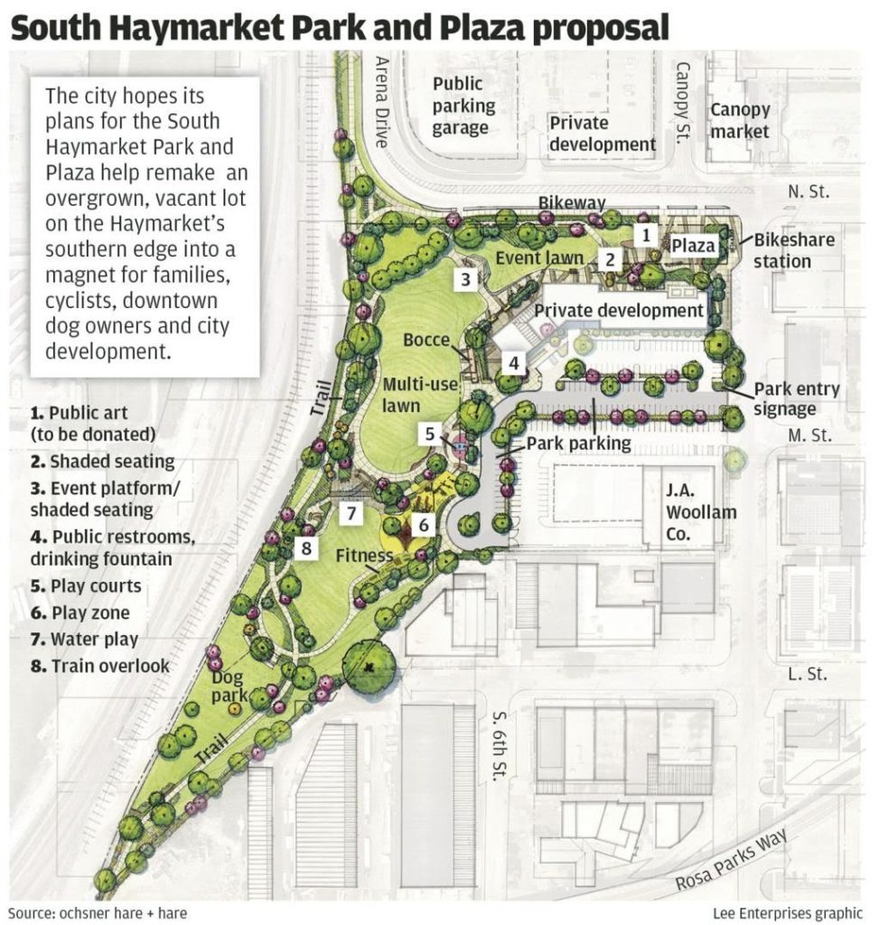
It does use the existing bicycle underpass on F with the recently repainted mural and updated lighting.The most valuable part of this on-street route I think is that it connects trails. The Jamaica North Trail along Fourth street will intersect the boulevard and connect to the yet-to-be-built Chris Beutler trail south out of the Haymarket.
The Beutler trail will connect with the Jamaica just below the lower tip of this illustration.
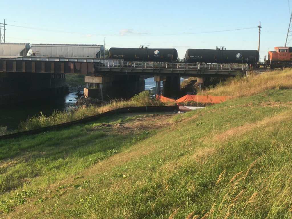
Also, the bicycle boulevard will connect to the Salt Creek Levee Trail with it’s new reroute under the train bridge, instead of going around it and through the infamous First street tunnel.
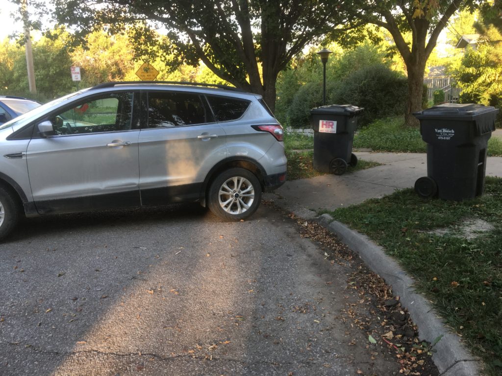
How the bicycle boulevard will connect to the levee trail remains to be seen. I hope they go with the original ramp that goes along the west side of the the Buddhist temple at the end of F street. With the (hopeful) increase in bike traffic, local motorists will need to remember to not block curb ramps leading to the bike/walk underpass, and to slow down and look for riders when whipping around the corner of Second and F.

Good photo of the train going over the underpass at 3rd and F Streets!
thanks!